History, politics, people of Oly WA

Category: Tumwater (Page 2 of 2)

Now, here’s the big secret: Capitol Way killed Tumwater’s downtown, not I-5

I-5 may have come along later to bury Tumwater’s historic downtown, but by the time it got there, Capitol Way had already stuck the knife in.

The best history of this, actually what got me started on this entire line of thinking, is Shanna Stevenson’s chapter “A Freeway Runs Through It” in “The River Remembers.” She points out that before 1936 the main drag through Tumwater dog legged through the old downtown Tumwater. After the current Capitol Way was finished in 1938, it bypassed the old downtown, leading to the creation of the commerical area down at Capitol Way and Trosper Road.

The red on the map below illustrates the new bypass, the blue, the old dog-leg road.

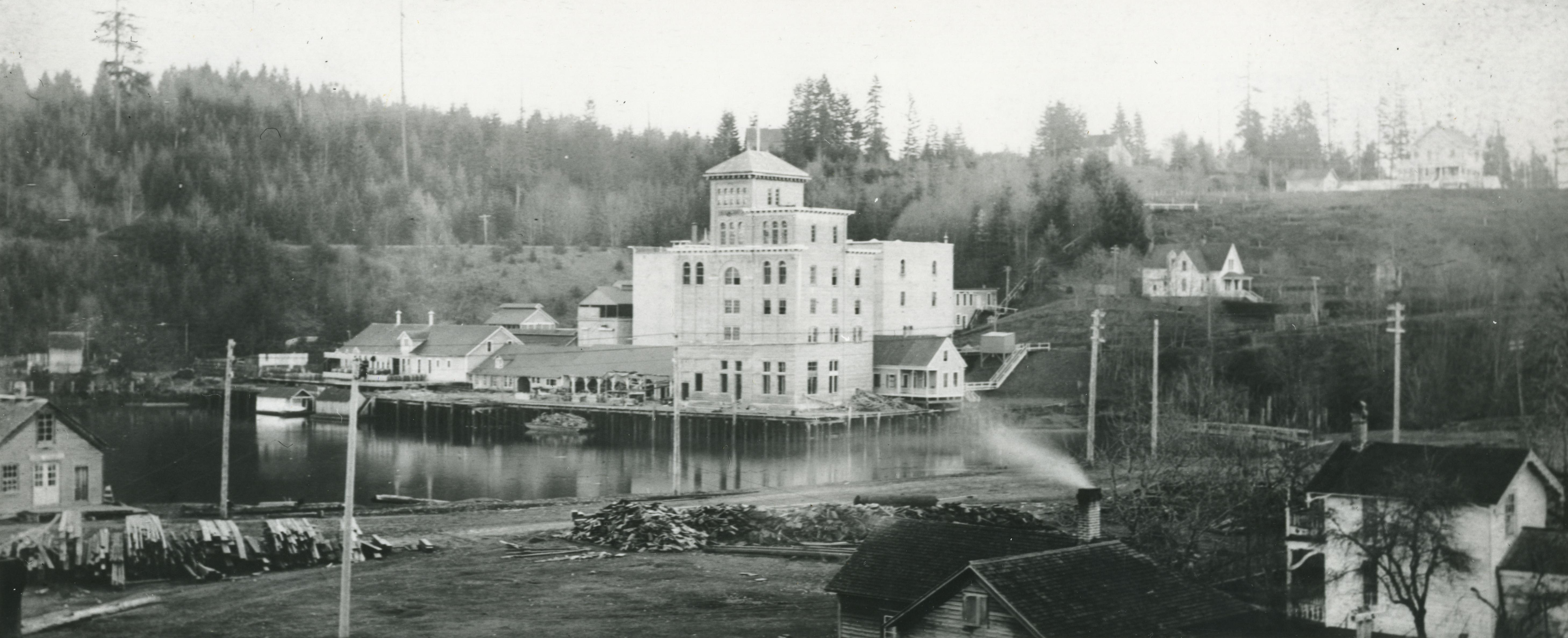
Going from crossing the Deschutes on a low bridge over waterfalls, the main road through Tumwater now crossed the Deschutes at a much wider point (a more than 1,000 foot span) over what is now the old (but then new) Tumwater brewery.

For over a decade before Interstate 5 uprooted the blocks old downtown Tumwater, the city was already abandoning its water-falls based history and moving south.

Tumwater’s next roads (railroads)

The next two roads in Tumwater that really interest me are the railroads. The Olympia Tenino/Port Townsend Southern Railroad and the Olympia Terminal/Union Pacific and the transition between the two show how roads changed Tumwater and how they changed the focus of Tumwater.

The Port Towsend line ran through old rive focussed Tumwater, connecting its industries directly to the saltwater.

The Union Pacific line (while it did connect through a branch down to the old Olympia brewery site then on saltwater) is certainly new Tumwater. And, through ownership changes in the early 1900s, both lines became owned by the same company (Union Pacific) and the latter replaced the former in connecting Tumwater to the Olympia waterfront.

In geography, here’s the difference between the two lines. The Port Townsend line ran through west side of what is now the Tumwater Falls Park. Much of the current trail is actually the old rail road grade. It continued down the west side of the Deschutes River (now Capitol Lake) until reaching saltwater near where Tugboat Annies is now.

You can see the Olympia terminus of the Port Townsend line in the famous Olympia birds eye (from UW Digital Collections).

You can see some of the Tumwater stretch in this picture from the Washington Historical Society.

While the Port Townsend Line sunset in 1916, the Union Pacific (former Olympia Terminal Line) was being completed just a year earlier. This is the current line when you think of the Olympia Brewery. Going down Custer Way, this is the line you cross over. The one obstacle that the road had to face to get from up on the east bluff to downtown Olympia and the waterfront was the bluff itself. The solution was a tunnel under Capitol Boulevard.

You can kind of see the railroad tunnel to the left (we’re looking south back into Tumwater).


View Larger Map

What’s interesting to me is that while the new railroad, the railroad that started drawing Tumwater up and away from the river, seems so tiny compared to I-5. While tunneling under Capitol Way created a nice short cut for the railroad, it pales in comparison to the obliteration of the same hillside by I-5 just decades later.

All references in this post come from two wonderful books by James Hannum, that I wrote about here.

The Old Road that was Tumwater

Following up on my other post about Tumwater, one I’ve been meaning to do for awhile now.

When people talk about the old Tumwater that was killed by I5, they mean the one that was centered along the Deschutes waterway (the same termonlolgy we use to talk about the Duwamish Waterway) and this road:


View Larger Map

This side street down the bluff in the South Capitol Neighborhood is all that remains for the old main road that went directly from Tumwater (New Market) to Olympia (Smithfield).

Tumwater and Olympia Brewery from UW Library:

Here is how the road looks when you overlay (from this map from the Washington Digital Archives) it with modern Tumwater.

And, just because I used Google Earth, here it is at a lower angle.

The main difference to me is obviously Interstate 5’s impact, cutting directly through the landscape. Other than that, its striking how much fill has been added. The center of the old waterway is now fill, for instance.

Approaching Tumwater’s past fate

Images from the City of Tumwater:

Being in Steilacoom for a few hours yesterday got me thinking about that old saw about Tumwater: that even though Tumwater city fathers invited I-5 into town to roll right over the old Tumwater downtown, it was a short sighted decision and ending up “killing the town.”

Steilacoom struck me as what Tumwater could have ended up like if I-5 had gone around the old town. Slow, a few old commercial buildings tucked neatly into a mostly residential town. Probably smaller than it is now, depending of course on how close I-5 got to town. Probably what saved what we now know as Steilacoom is that Pierce County gave the outskirts of town to the Army to build Fort Lewis.

Anyway, first off, I took a look at what the most basic impact I-5 had on Tumwater. In short, did the city father’s gamble in the 1950s, to raze the old Deschutes-side downtown for an interstate, work out?

So, here’s a spreadsheet that puts together two basic measures, structures (which I stumbled upon months ago) and population.

There was an early surge in structures from Tumwater after the highway went in, but Olympia quickly took the lead.

In terms of population, there also was a surge, and Tumwater is still leading in growth, but their lead is shrinking.

So, in short, yes the gamble worked. By the raw numbers, I-5 coming through certainly had an impact and seemingly surged Tumwaters growth (and in my opinion) made it the town it is today. But, that surge is subsiding, and I’d even venture to say that along with Lacey being created out of nearly nothing, Tumwater’s post I-5 growth advantage is now gone, and all the communities are on the same playing field.

Newer posts »

© 2026 Olympia Time

Theme by Anders NorenUp ↑